
Surveying and Mapping Technology and Talent Exchange
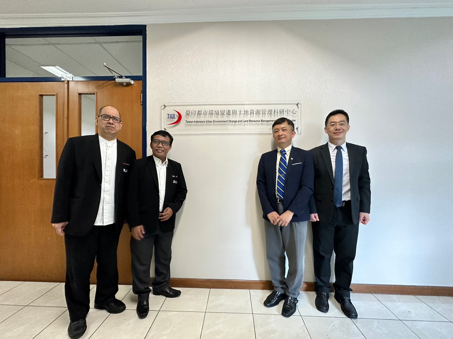
Taiwan-Indonesia Research Center
Cooperating through the
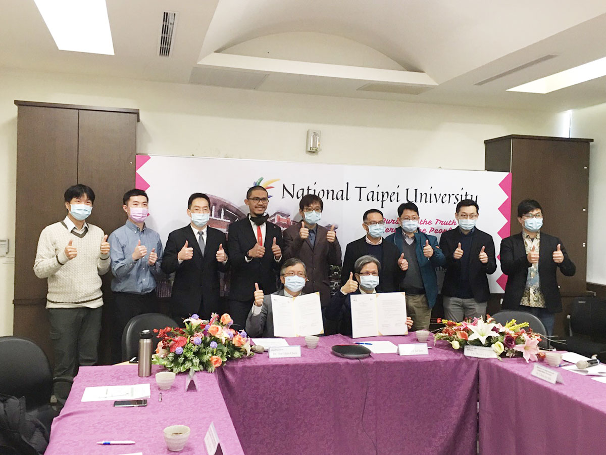
The Taiwan-Indonesia Research Center (TIUL) cooperates with the international community through domestic industries, governments, academics, and other parties integrated into technology surveys and mapping in order to achieve contributions such as cultivation and international technical personnel exchange, upholding long-term and in-depth cultivation, as well as the development of technological diversification between the two countries without neglecting the promotion of university-industry cooperation and technology development.
了解更多
Various surveying plans and survey results published

Ground relative gravity measurement record.
Ground relative gravity measurement requires the installation of a Global Navigation Satellite System (GNSS) receiver on the aircraft body, and the GNSS receiver as a ground base station on the absolute gravity point to record the aircraft's observations during each route. Location data.

On-site teaching of ground relative gravity measurement.
When teaching the ground relative gravity measurement, it is necessary to perform ground relative gravity measurement on the parking apron where the aircraft is parked. The gravity value of this temporary point is referenced to the ground absolute gravity point near the airport. These absolute gravity points on the ground are usually located near airports in each province.

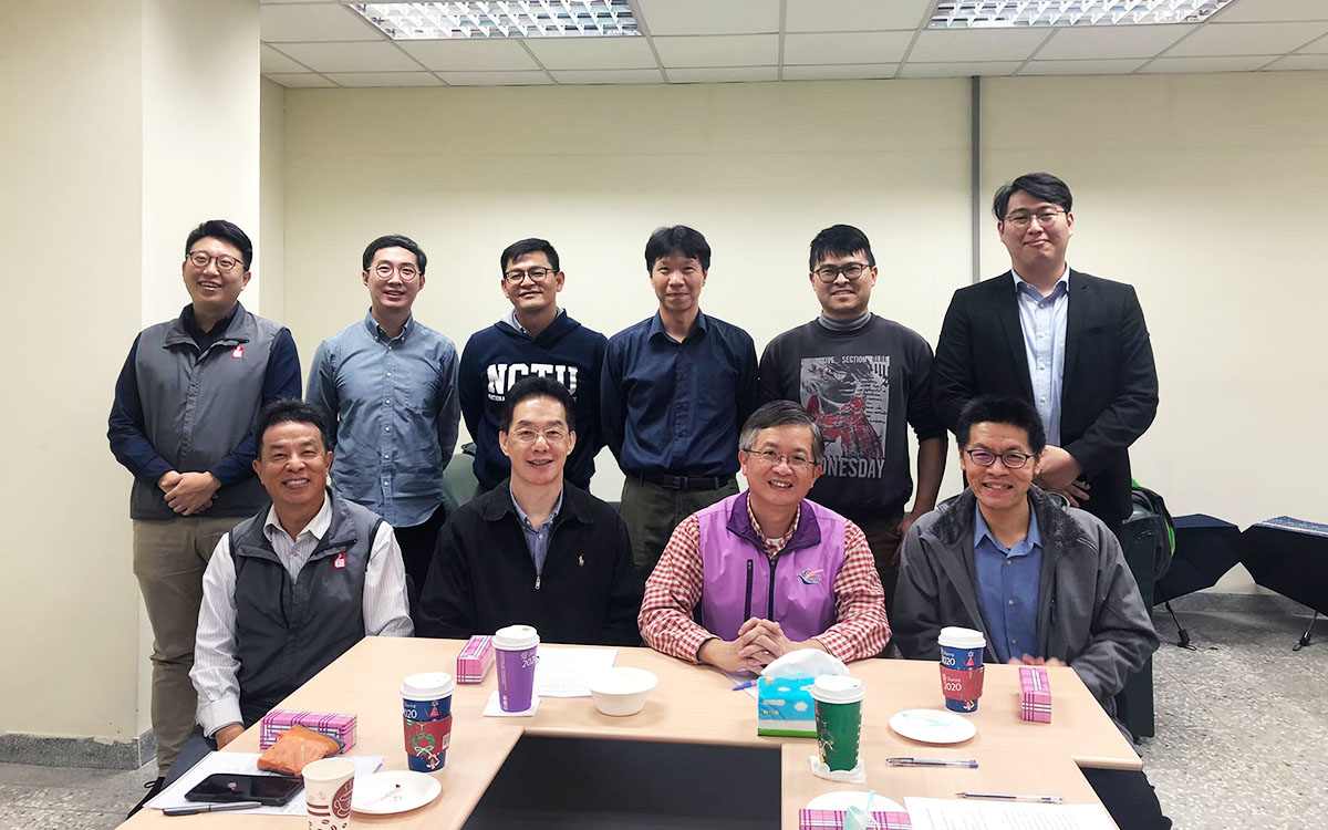
Group photo of professional surveyors.
A group photo of the center's researchers and professional surveyors.
For cooperation inquiries, technical exchanges, and suggestions please contact us below.Fill out the form